Hiking on Amorgos

The paths of Amorgos ideally connect the natural landscape, with the mountains and the sea! By hiking, you will discover the treasures of the countryside with seductive landscapes that capture the visitor's eye and constitute the "soul" of Amorgos! 

In older times, the hiking trails were the only link between the villages of Amorgos. If you decide to hike even a couple of them, you will discover beautiful scenery, with constant changes of terrain, blending mountainous scenery with the endless blue sea!

During your wandering, you will also discover the island’s rare flora and fauna, in an extraordinary hiking experience! By walking you will be a witness of the island’s rare flora and fauna, while ancient acropolises, monuments of the Early Cycladic period, and other historic times, will keep you company!

Hiking on Amorgos

The Amorgos island has eight (8) mapped hiking footpaths, as described below: 

Route 1 – Palia Strata

Hard
20 km
4 h
Shoes, Water, First Aid kit

Starting point: “Kalogerikos” spot in Chora village.

Chora – Monastery Hozoviotissa – Kapsala – Asfontylitis – Aegiali.

This is the longest of the eight footpaths in Amorgos! It is traversing the island’s backbone at an altitude of around 350-400 meters above sea level and covering a distance of approximately 50% of the island’s total length. The “Palia Strata” (old path), as it is commonly known, was the traditional route along which people and goods traveled from Chora to Aegiali and back before the asphalt roads were built, passing via Hozoviotissa Monastery.

After 2 hours of hiking and having passed the "Kapsala" spot, you will reach at Asfontilitis, an abandoned, rural settlement and then in Oxo Meria, and after you will see Ano Potamos where the path from now on, is downhill with final destination the Aegiali bay!

Route 2 – Photodotis

Easy
5 km
1 h
Shoes, Water

Starting point: Road behind Vorina neighborhood, in Chora village. 

Chora - Katapola (port).

Follow the signs pointing to Katapola, leaving the asphalt road and taking the marked footpath. The route brings you through "Milies" and past "Agia Irini" spots. The trail is a quite easy-going one, and your descent will being you past an old water spring and an oak tree offering shade on hot summer days! The path becomes bushier and narrower here but is still easy to follow. 

After about 40 minutes of hiking and having passed the areas of "Fonia" and "Milies" you will meet the chapel of Agia Irini and then the port.

This is the end of footpath 2, which links the capital of Amorgos to Katapola port!

hiking amorgos path chora-katapola 2
hiking amorgos path 2 chora-katapola

Route 3 – Itonia

Medium
13 km
3,5 h
Shoes, Water

Starting point: North of "Arkesini" village. 

Vroutsi - Katapola. 

The southern part of Amorgos links Kato Meria to Katapola. The footpath is a great opportunity to view the Eastern Cyclades and the Naxos, as well!

This route is the connection of two ancient settlements; Minoa and Arkesini! The trail is marked with red-and-white markers with the number 3 up to Vroutsi village. From there to Katapola, the markings are not especially clear – there are only a few signs leading to settlements or churches that you will meet along the way.

The hiking in nature will reveal small churches (chapels), ancient citadels (Arkesini), ruins of the Agia Triada Tower, Kastri, as well as some beaches (Ag. Saranda, Finikies). Just before Katapola, the road will lead you to archeological site of Minoa.

Route 4 – Melania

Easy
9 km
2,5 h
Shoes, Water

Starting point: Aegiali bay - beach. 

Aegiali bay - Langada - Tholaria.

Along this itinerary, you will enjoy the natural landscape of Aegiali with intermediate stops at Tholaria and Lagada villages.

During this special route you will be among the mountains of the Aegiali area and you will experience wonderful valleys, the famous gorge of Araklos, the church of Panagia Epanochoriani as well as the Stroumbos settlement.

Your hiking experience is ideally completed with the scents of sage, oregano and other plants found in abundance in the countryside! 

At Tholaria village you will see the ruins of the acropolis of Ancient Aegiali with the name of "Vigla" and the church of "Agioi Anargiri", at the entrance of the village.

Route 5 – PAN

Hard
14 km
4 h
Shoes, Water, First Aid kit

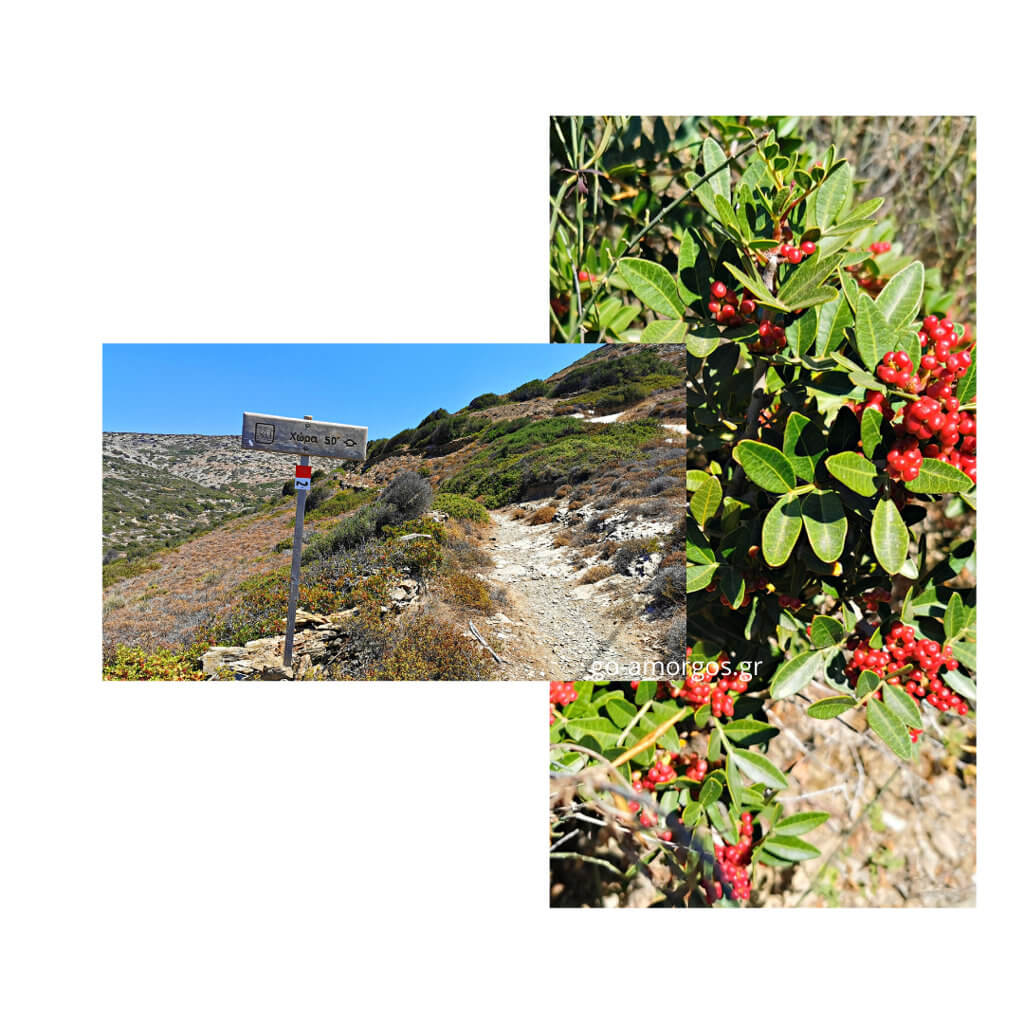
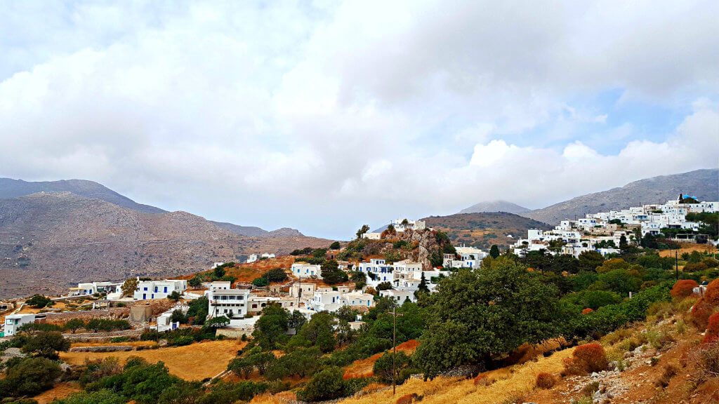
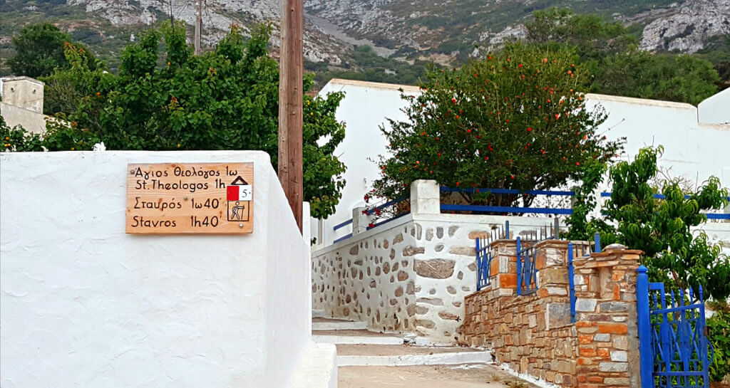
Starting point: Langada village - "Loza" sq.

Langada – Epanohoriani – Theologos – Stavros – “Metallio” mine.

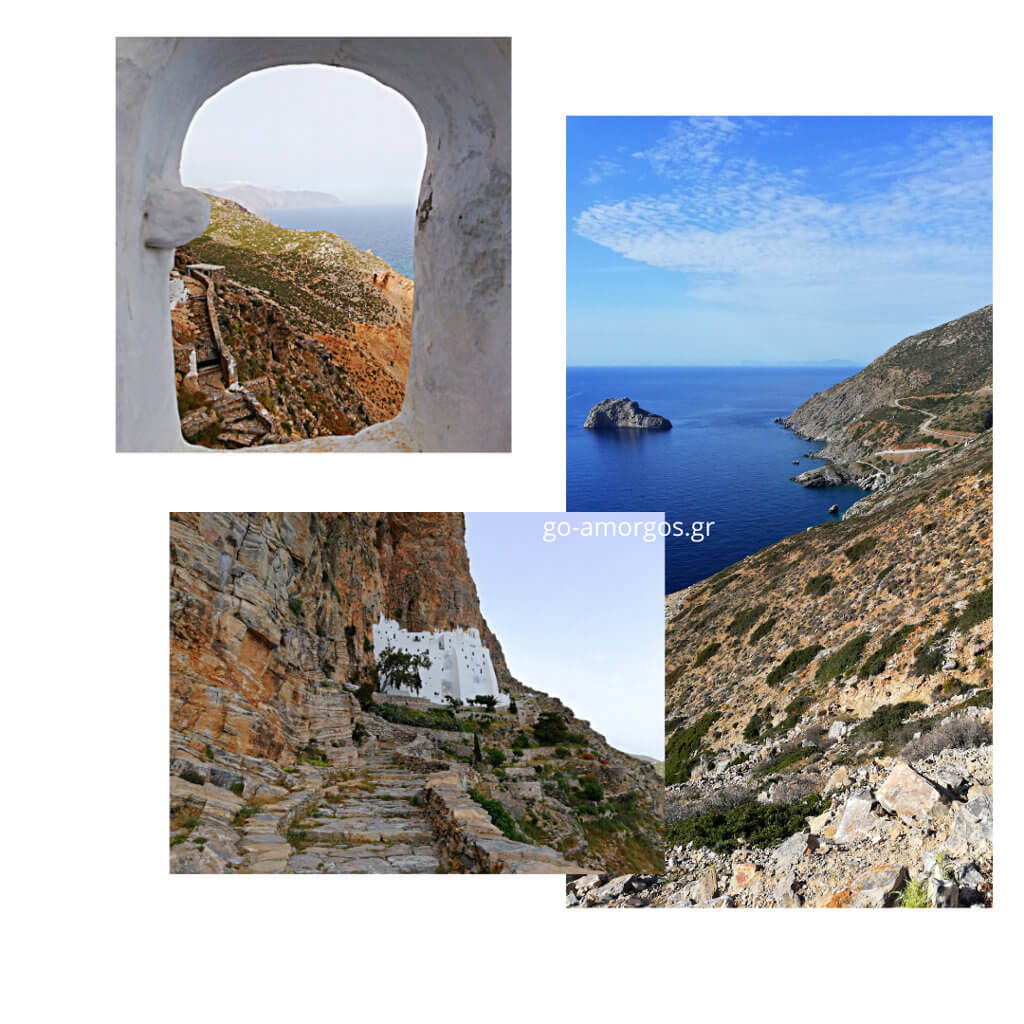
A walk to the small chapel of Stavros on Krikelos, the highest mountain of Amorgos, is special.

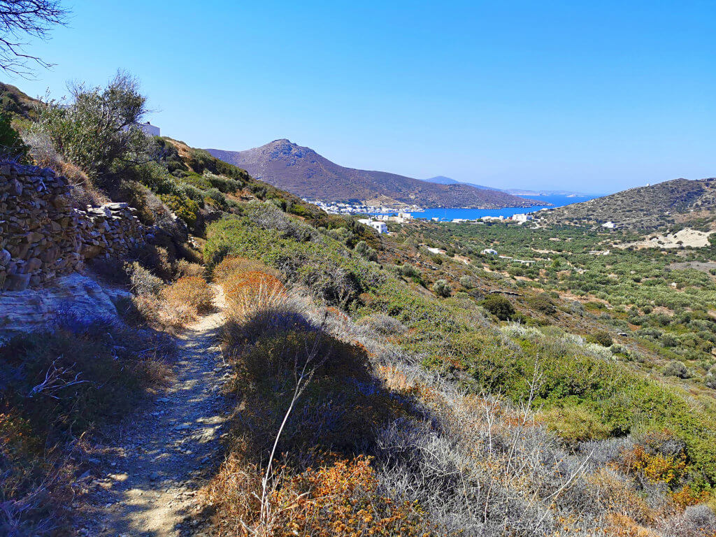
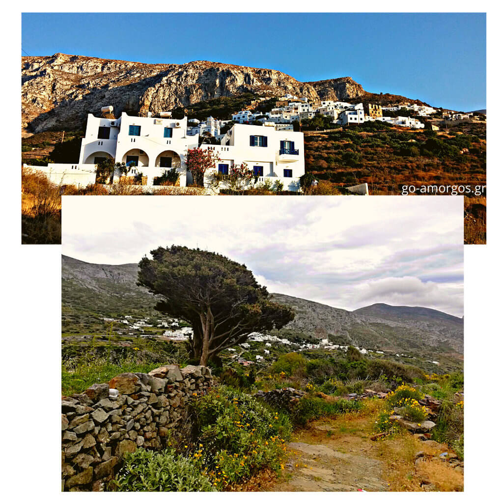
The route leads you from the mountain village of Langada above the Monastery of Agios Theologos, into a deep valley in the Northeast of the island, which could not be more isolated.

You will be following the footsteps of mountain people who worked hard at the bauxite mine, “The Metallio mine”, 700 meters below the chapel of Stavros. 

The mine closed in 1943; until then 150 people had worked there.

From 1976 to 1981, the mine acquired a new life and several exploratory drills were carried out. The mine is currently abandoned, while the descent from the chapel of Stavros is quite strenuous!

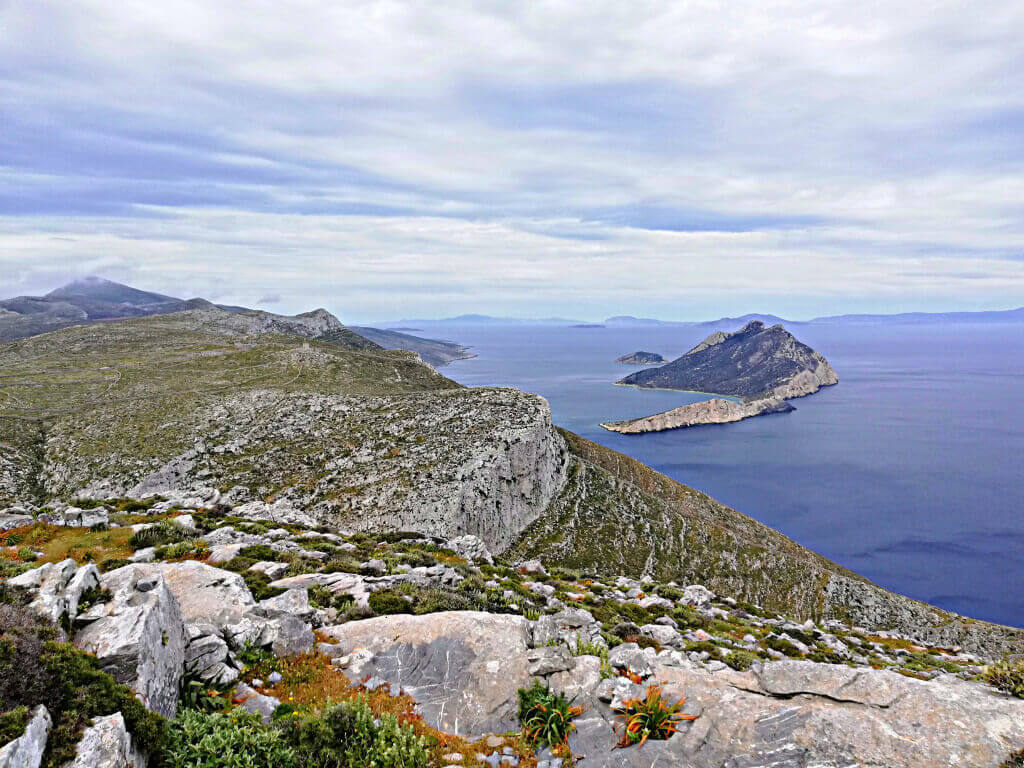
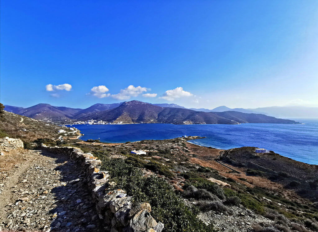
Route 5 is completed at the highest point of the island, on Mount Krikelos. The view, provided that you will reach this spot, is really amazing as on the one hand you will gaze at the entire southern ridge of Amorgos, and on the other hand, you will see the endless blue of the sea unfolds in front of you! We suggest you walk this route one day in good weather conditions, with no air. 

The area is now part of the Natura 2000 network, protected area. 

Please do not enter the old mine installations because it is dangerous. It is also recommended that you do NOT attempt it while you are alone.

hiking amorgos path 5 lagada-stavros-metalleio

Route 6 – Valsamitis

Easy
5 km
2 h
Shoes, Water

Starting point: Katapola.

Katapola – Ag. Georgios Valsamitis – St. Marina – Minoa. 

This route is an easy one for the hikers, with the reference point Ag. George Valsamitis, St. Marina and the hill of Ancient Minoa in Katapola. 

Route 7 – Langada’s Windmills

Easy
5 km
50 min
Shoes, Water

Starting point: Langada village – Bus terminal station.

Above the mountain village of Langada, high up on the mountain crest, are the village’s old mills.

The last mill was used until 1974 for grinding grain. Now they are ruined and, in their deep isolation, they watch over the bay of Aegiali and the villages of Langada and Tholaria. The view from above is breathtaking! The road is steep and stony, and special attention is required, as a strong wind blows as you walk uphill.

Route 8 – Evaggelistria

Easy
5 km
1 h
Water

Starting point: Xylokeratidi settlememt, Katapola.

Xylokeratidi – Nera- Peristeria

This is an easy, circular route and passes through the Cemetery of Katapola in the direction of "Nera". You will then continue, meeting "Vigla" on your right and you will reach the Byzantine church of Evangelistria. This rural area is still chosen by farmers.

Finally, you will gaze at the nature and at the same time the amazing bay of Katapola from various angles! 

en_GB